HSCTF 2021 - Geomapping1 | OSINT
Geomapping1
Solution
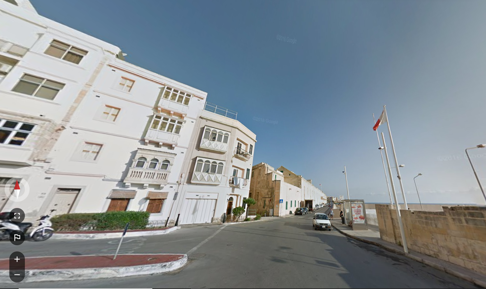
Picture 1
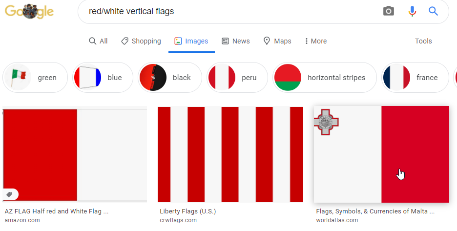
- Googled “red/white vertical flags” and that led me to the flag of Malta.
- The compass on the picture hinted that the ocean is going to be on the East direction which means this location must be on the right side of Malta and there must be buildings on the left.
- Traced all bus stops near shore on Google Maps
- The bus stop has to located at a slanted Y shaped intersection.
Exact location: https://www.google.com/maps/@35.8980106,14.5179502,3a,75y,358.91h,99.61t/data=!3m7!1e1!3m5!1sv4-Tz3_nciJr10A1On3UZA!2e0!6shttps:%2F%2Fstreetviewpixels-pa.googleapis.com%2Fv1%2Fthumbnail%3Fpanoid%3Dv4-Tz3_nciJr10A1On3UZA%26cb_client%3Dmaps_sv.tactile.gps%26w%3D203%26h%3D100%26yaw%3D134.10117%26pitch%3D0%26thumbfov%3D100!7i13312!8i6656
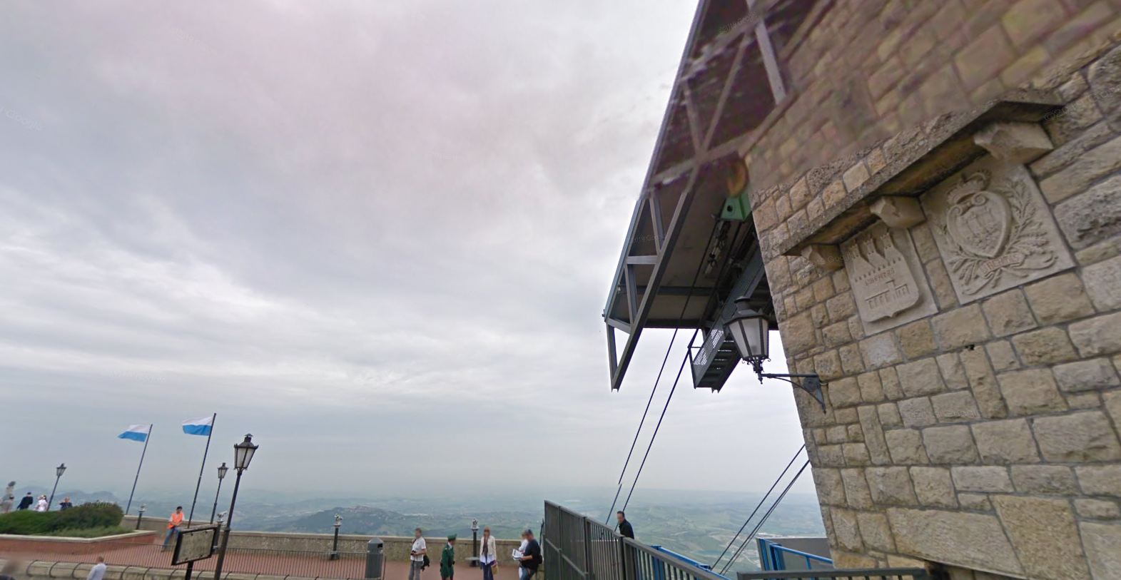
Picture 2
-
Cropped the two stone plates on the wall onto Yandex
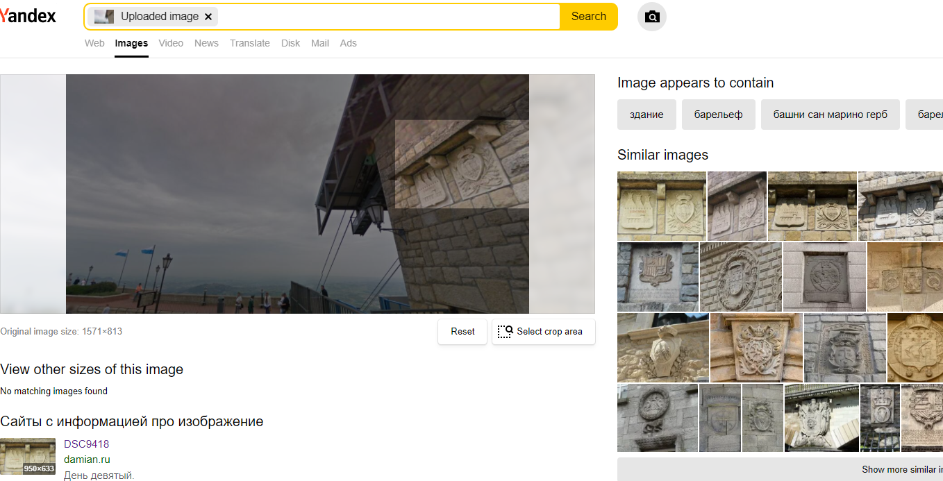
-
Found a blog site tagging San Marino and there is a cable car picture. Blog link
-
Yandex’ed the cable car picture and discovered Borgo Maggiore
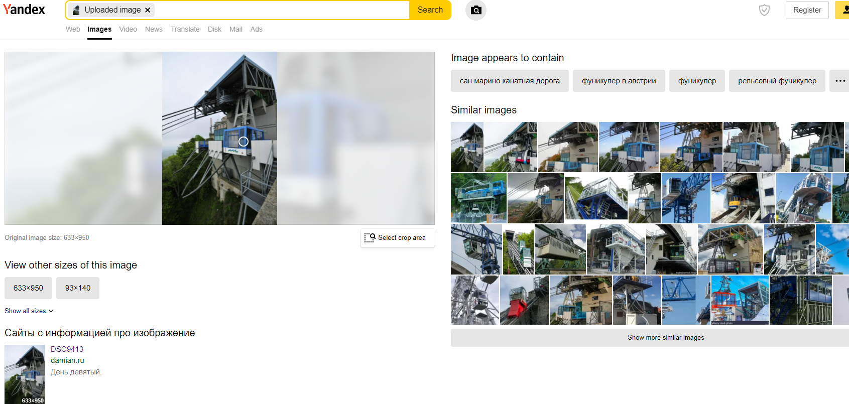
-
Google Map’ed Borgo Maggiore Google Map